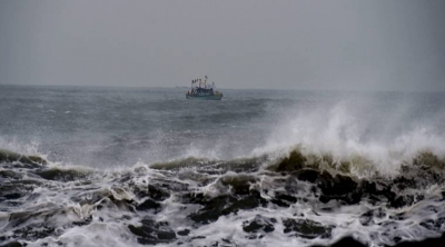
Issuing an “orange” alert, the India Meteorological Department announced the arrival of the first tropical storm of the season, cyclone Ockhi over the districts in South Kerala, Tamil Nadu and Lakshadweep. The name Ockhi is coined by Bangladesh, which in Bengali means ‘eye’. According to Hurricane Research Division, tropical cyclones are named to provide ease of communication between forecasters and the general public regarding forecasts, watches, and warnings. Cyclones forming in the North Indian Ocean basin are named by the Indian Meteorological Department. The next cyclone will be named by India and it will be called ‘Sagar’.
Cyclone Vardah hit the Tamil Nadu coast on Monday afternoon, making landfall in Pulicat. The Met office said the cyclonic storm would take about six hours to completely cross on to land, with the landfall taking about two hours. The landfall is when the eye of the storm hits land. The eye of Cyclone Vardah is 15 km in diameter and it hit the coast at a wind speed of 130 to 150 kmph, bringing with it heavy rain. The name Vardah was given by Pakistan. The name of cyclones in the Indian Ocean Region are decided by the member countries, which are India, Sri Lanka, Bangladesh, Thailand, Myanmar, Maldives and Oman. Cyclone Nada was named by Oman.
A cyclone named Fani is a massive cyclonic formation over the south of Bay of Bengal which is expected to make landfall in Tamil Nadu, Kerala and Andhra Pradesh. Do you know the low-pressure belt of cyclone forms in Sri Lanka and then from there it turns north-west towards the southern Indian states. According to Mahesh Palawat, who works at Skymet Weather, this cyclone may cause hot winds from northeast and are expected to blow over Mumbai and adjoining areas in Maharashtra. Also, dust storms may likely to occur in Rajasthan as an impact; heat wave in Madhya Pradesh could follow.
Cyclonic Storm Nilam was the deadliest tropical cyclone to directly affect South India since Cyclone Jal in 2010. Originating from an area of low pressure over the Bay of Bengal on October 28, 2012, the system began as a weak depression 550 km (340 mi) northeast of Trincomalee, Sri Lanka. Over the following few days, the depression gradually intensified into a deep depression, and subsequently a cyclonic storm by October 30. It made landfall near Mahabalipuram on October 31 as a strong cyclonic storm with peak winds of 85 km/h (50 mph). In Chennai’s Marina Beach, strong winds pushed piles of sand ashore and seawater reached nearly a 100 m (330 ft) inland. Schools and colleges in the city remained closed for more than three days.
Picture Credit : Google

