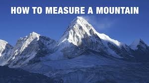
You probably already know that Mt. Everest stands at 8,849 metres above sea level. Did you ever wonder how such a formidable mountain was measured? Moreover, before one starts measuring it, one must decide whether to measure from the base of the mountain to the peak or from sea level to the peak. Some measurements are also conducted from the centre of the Earth to the peak.
Once the baseline is decided one must decide on the method to be used. In the past, geometry was used to figure out the height, based on the angles between the top of the mountain and points on the ground whose positions were already known. A telescopic instrument known as the theodolite was used to measure this angle.
Another way to measure the height is by using a barometer. You may know that a barometer is used to measure atmospheric pressure. How then, can we measure a mountain with it? By using simple logic. We know that atmospheric pressure decreases as we go higher up. So the air pressure on the top of a mountain will be lower than the pressure at sea level. By comparing these two measurements we can calculate how tall a mountain is. Innovative science, wouldn’t you say?
Picture Credit : Google


