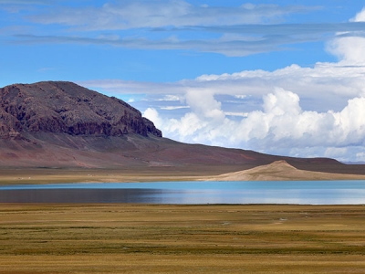
The Tibetan Plateau is also called the Plateau of Tibet or the Qinghai-Tibet Plateau, or the inland plateau of Asia. It is the largest and highest plateau in the world with an average elevation of around 4,500 meters (14,800 ft).
The Tibetan Plateau is known as “the roof of the world” and “the third pole”. Most of its area is in China’s Tibet and Qinghai provinces. Here is interesting geographical, historical, cultural, and travel-related information so that you can know all about “the roof of the world”.
With the Pamir Plateau to its west and the Loess Plateau in the East, the Tibetan Plateau starts from the southern margin of the Himalayas and stretches northward to the northern edge of the Kunlun Mountains and the Altun Mountain.
It is about 2,800km (1,700 miles) wide from east to west and up to 1,500 km (900 miles) across from north to south, with a total area of about 2.5 million square kilometers (1 million square miles).
Almost a quarter of the land area of China is the Tibetan plateau. Most of the Plateau is in Tibet and a part of it is in Qinghai. Not all of Tibet is part of the plateau though since there are lowlands in the southeast in Nyingchi and Shannan.
Credit : China Highlights
Picture Credit : Google


